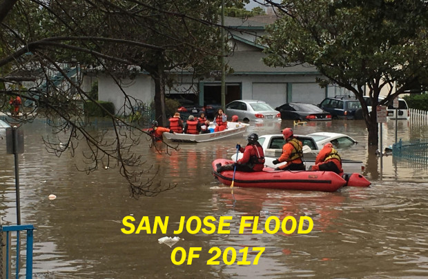
Be Prepared for Flood
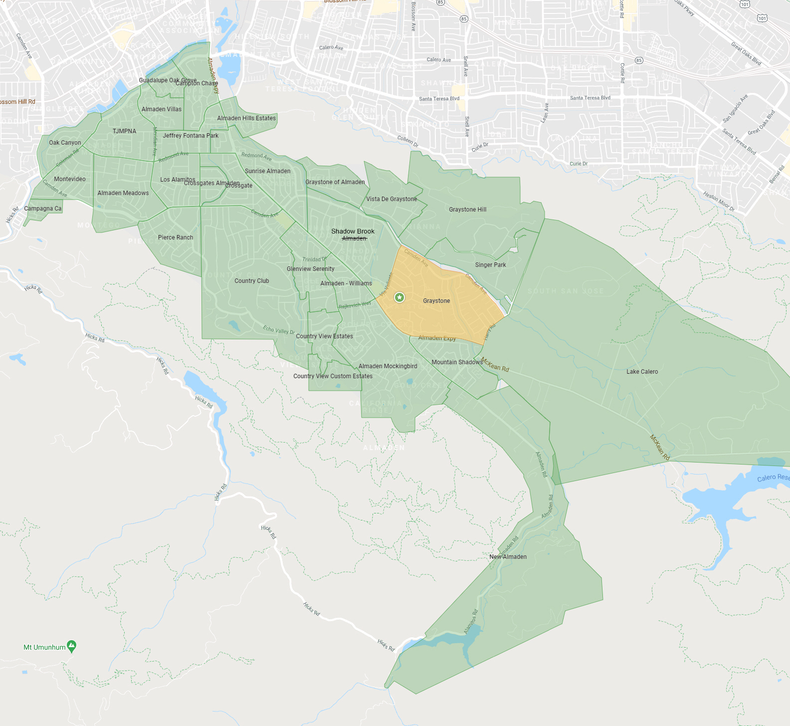
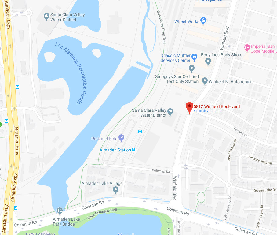
95120 Flood Map
|
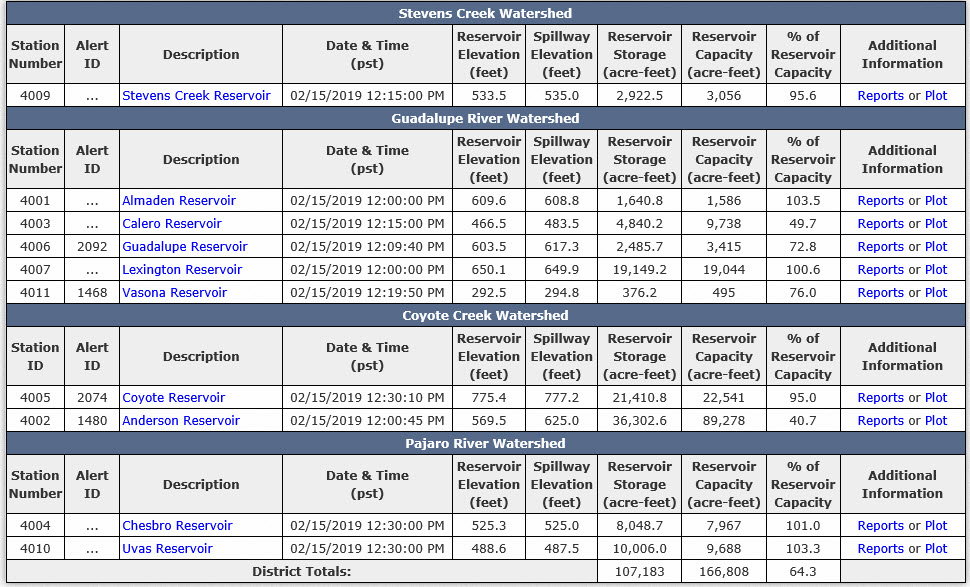
ALERT Reservoir Gage Information |

Dam Inundation Risk
Only a failure of the Almaden Reservoir dam is a potential risk for Amaden residents.
The water flood paths of the other Santa Clara County dams do not reach into 95120
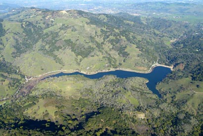
Almaden Reservoir is one of Santa Clara County's six original reservoirs, built in 1935, and is one of 10 current reservoirs operated by the Santa Clara Valley Water District. Able to store 1,590 acre feet of water, the reservoir is located 5 miles south of 95120, produces about 4% of the district's local water supply and also provides water for goundwater recharge.its accompanying earth fill dam stands 110 feet tall with a crest of about 500 feet. Subject to safety regulations by the State, Almaden Reservoir is currently considered a high hazard dam due to the number of people who live in its potential downstream flood zone and the extensive amount of damage that a flood could cause in case of a dam breach.The water district has been studying safety upgrades since 2000.Amaden Reservoir is restricted to 93% of capacity due to seismic satability concerns. The current reservoir level can be found HERE. |
 |
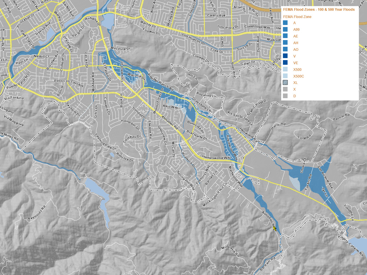
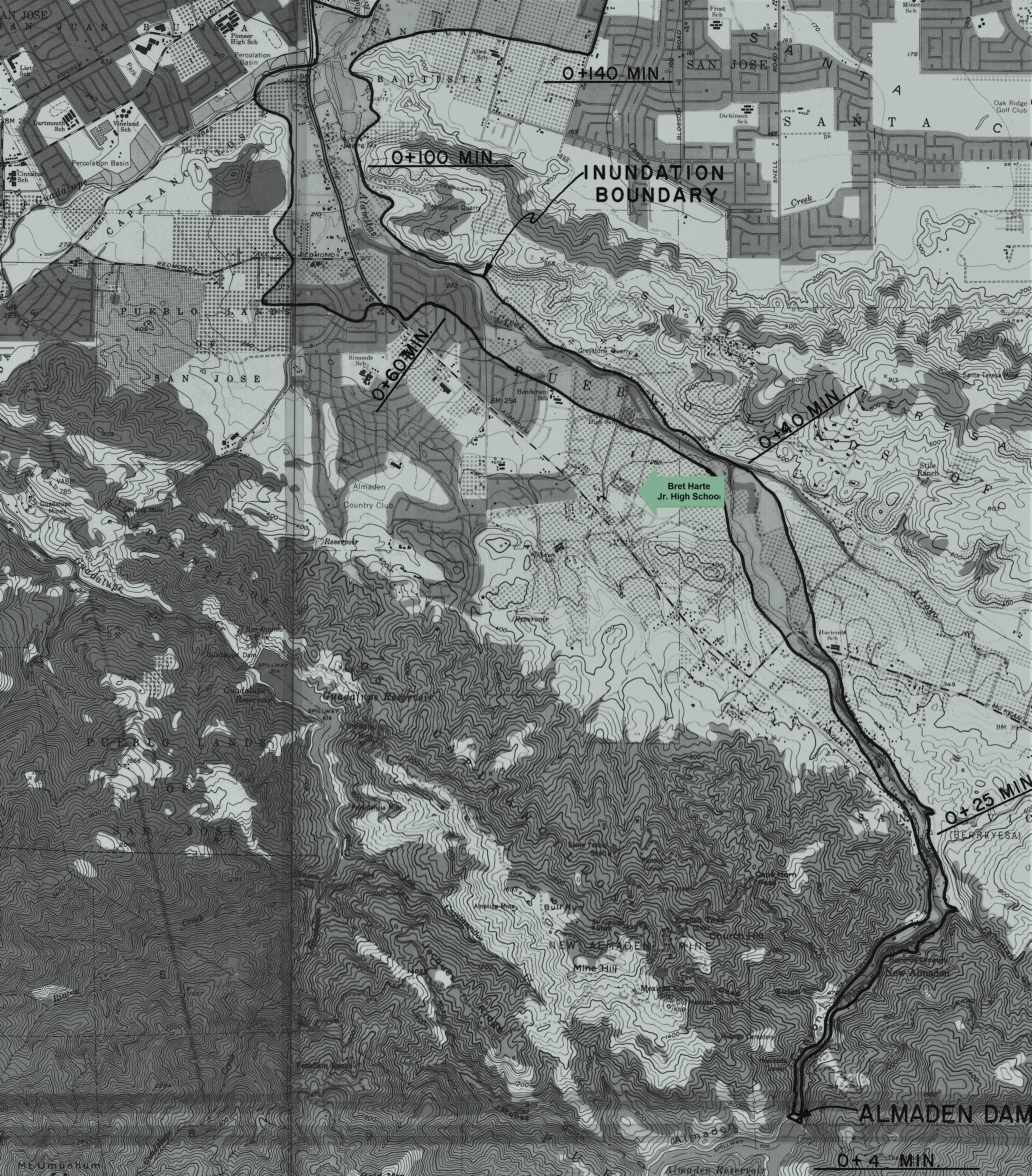
This is a dam inundation (failure) map for the Almaden Reservoir. It was published in 1973 so many current day roads and developments do not show on the map.The 0+40 MIN marker means it is estimated that it would take 40 minutes for the flood wall to reach Bret Harte Jr. High.The INUNDATION BOUNDARY indicates the expected flood area.
Click map to download full size image →
|
 |
UPDATE 2020 |
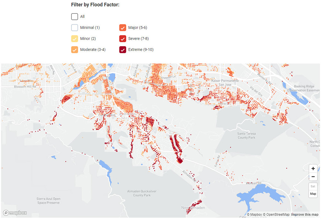
Much of the data above is from the Santa Clara Water District which is out of date. First Street Foundation has created a new meithodolgy and tool called Flood Factor to estimate future flood risk. On the FloodFactor.com website you can enter your address and view your flood risk factor. Click here to see a webpage with a map just for 95120. Be sure to scroll down to the Flood Factors across 95120 to see a map like the one below and use the + key to zoom around the map. |
 |